


Tutorial link
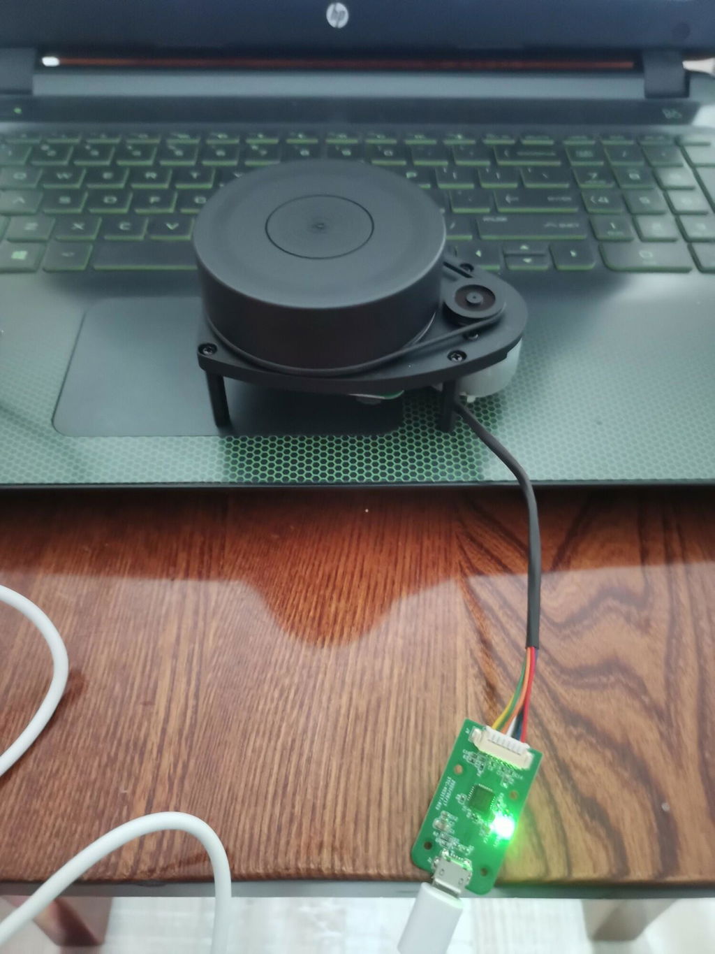
SLAM lidar is currently the most popular and cost-effective lidar in the open source hardware field. It possess small size and excellent quality, support 360° scanning and distance measurement, can be used on a personal computer or Jetson NANO Raspberry Pi and other micro-controllers by a USB data cable. We will provide many tutorial materials and codes, and ROS robot learning materials. These lidar are divided into 6 different models, each of which has a different shape and performance, and users can choose according to their requirements.


Slamtec RPLIDAR Lidar SLAM C1 A1 A2 S2 S2LS3 support Mapping navigation for ROS/ROS2
Vendor: Yahboom
SKU: 6000301505
Need help with choosing the right product?
Click here to reach out to one of our experts.
Tutorial link
SLAM lidar is currently the most popular and cost-effective lidar in the open source hardware field. It possess small size and excellent quality, support 360° scanning and distance measurement, can be used on a personal computer or Jetson NANO Raspberry Pi and other micro-controllers by a USB data cable. We will provide many tutorial materials and codes, and ROS robot learning materials. These lidar are divided into 6 different models, each of which has a different shape and performance, and users can choose according to their requirements.

Questions & Answers
Have a Question?
-
Can we export .pcd or not ? And also what other file formats can the EAI 4ROS lidar provide ?
Hello,
1. We're sorry, we haven't tried exporting .pcd files. You'll need to write your own code to export. We don't have tutorials, and we don't provide technical support for it.
2. What other file formats does the EAI 4ROS lidar support: ROS's native .pgm and .yaml formats are used for saving raster maps.
I hope this helps.
Have fun!
-
Also, could you please tell me how we can export .pcd file ? I require the Point cloud to be exported from the device to my windows computer. I did not see the export course in your LEARN platform.
hi, sorry, we don't have any related file export courses. If you need it, please find a way yourself.